 |
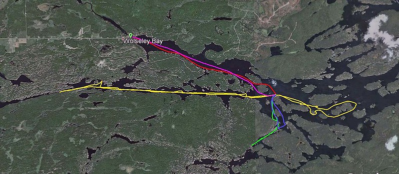
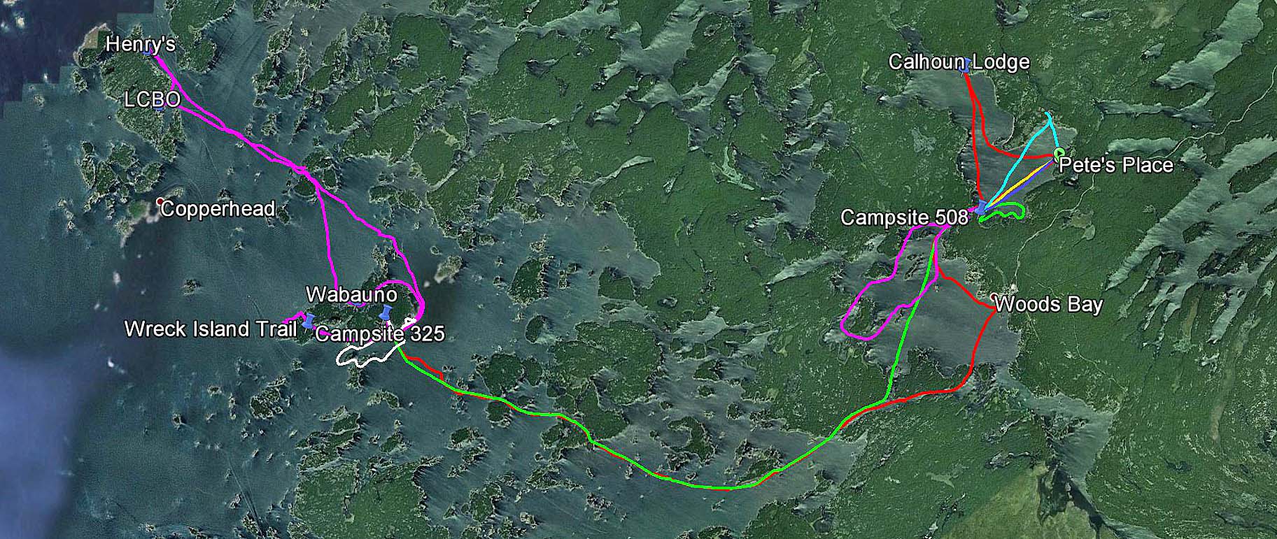
Our GPS tracks in the Massassauga Park
|
Initially Catherine
and I were planning to stay in the Massasauga Provincial Park over the Canada
Day long weekend, on a campsite near the channel. In March, 2013 we called
Ontario Park Reservation and the site was still available, yet a day or two
later, when we finally called to book it, it was taken! Since it was still
available for the Simcoe Day long weekend in August, we quickly booked it — and
managed to reserve a campsite in Killarney Park over the July long weekend
instead. But it was not the end of the story: a month later, while chatting
with my clients, it turned out that they were also spending weekends camping
and canoeing and were looking forward to going camping over the Canada Day long
weekend.
“Which park are you going to?” I asked.
“The Massasauga”, they said. “We had already reserved a campsite”.
“Which one?”
“The one near the channel”, they said to my astonishment!
Wow, what
are the chances of this happening?
 |
| Pete's Place, we depart from here |
So, on
August 1, 2013 (the 69th anniversary of the Warsaw Uprising) we
arrived at the Massasauga Park, Pete’s Place, to start our sixth trip in this
park. There were not too many people around — we met a young guy of Serbian or
Croatian origin from Toronto who was dragging his small kayak to the water. He
was staying on one of the campsites located along Captain’s Allan Strait and we
paddled together until we reached our campsite.
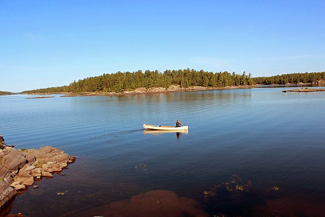
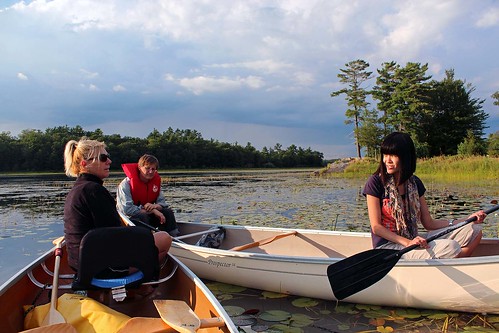 |
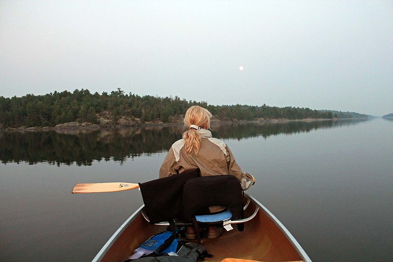
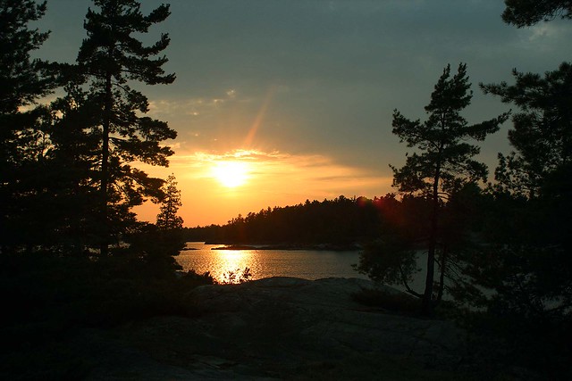
| Evening paddle on Woods Bay |
We had
stayed on that campsite in July, 2011 with some friends, as well as part of our
group had camped on it in 2010. It was located on the shores of the only
channel leading to Woods Bay (and to Georgian Bay), so there was plenty of boat
traffic. Nevertheless, the boats did not bother us — we could hardly see them —
and we even enjoyed sitting on the rock and watching the passing boats and the
setting sun. The campsite also looked out on a small island (private, but
without any structures), sometimes we swam to the island and relaxed on its
rocks.
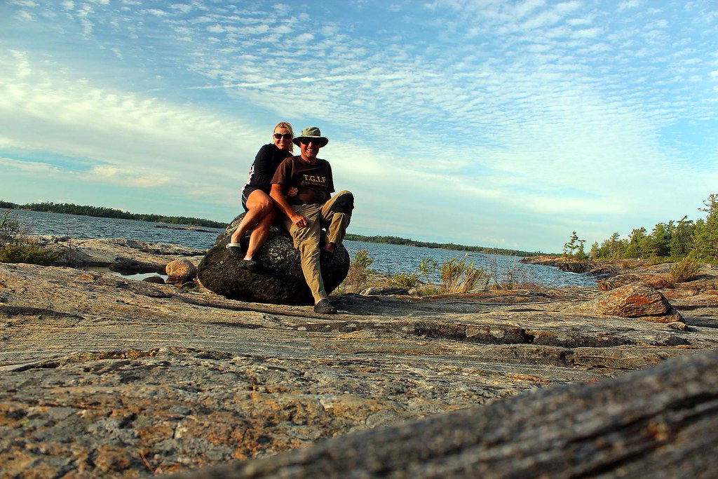
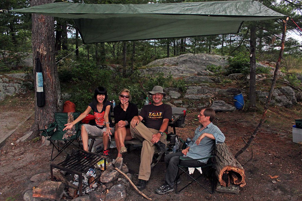 |
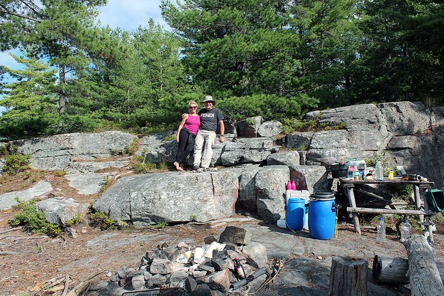
Lynn, Catherine, Jack and Wayne at our Blackstone
Harbour campsite, near the channel |
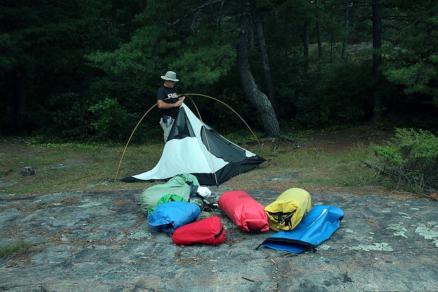
The next
day Lynn and Wayne arrived and set up their new tent and a tarp. Later in the
evening all of us went for a paddle on Woods Bay, around Georgina and Fritz
Islands. The weather was perfect and we could enjoy the wonderful sunset. Once
we were back, we had a campfire.
Since
Catherine had left her hat in the car, the next morning we paddled to Pete’s
Point (about 15 minutes) to fetch it and then we headed to Calhoun Lodge,
facing a rather strong head wind. While Catherine, Lynn and Wayne went on a
rigorous hike on the Baker Homestead hiking trail, I spent all this time
exploring the lodge and adjacent buildings.
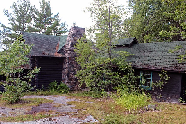 |
| Calhoun Lodge |
Although I had visited the lodge
several years ago (also with the same group), this time I appreciated its past
history much more: Several months ago I had been contacted by Mr. Dave Nadzam
from Ohio, who had seen my photos of Calhoun Lodge and made a few comments. It
turned out that Dave, as a teenager, used to visit the Lodge and of course,
knew its owner, Joseph Calhoun. He emailed me several photos depicting him
having a wonderful time at the Lodge and wrote a couple of stories about the
Lodge, ‘Judge’ Calhoun and his family. I also sent him the Massasauga Park
tabloid and a brochure about Calhoun Lodge. So, now I was taking photographs
and videos of the Lodge and later emailed them to Dave.
 |
| At Calhoun Lodge |
I intended
to incorporate his stories and some of the photographs in my blog — but he
created his own blog, “The Calhoun Lodge: Willebejobe”, (
https://dhnadzam.wordpress.com/), where
you can find plenty of photos and very interesting stories related to the Lodge
and its inhabitants-it is really worth visiting! I found it fascinating to read
about the owner, “Judge” Jo Calhoun and his family (including his sister, who
starred in almost 50 silent movies), Dave’s personal stories and finally
stories about the Taylor family, who purchased the property from Mr. Calhoun.
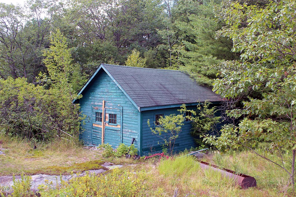 |
| The Maintenance Shed |
Most of the buildings still
survive in various state of (dis)repair. One of them, the maintenance shed, has
a rather gloomy history: On May 24, 1968, Jerome Cassanette, the caretaker,
dressed in his best clothes, and with a bottle of the Judge’s finest scotch,
went to the maintenance shed, closed the shed door, started the tractor and
then lay on the work bench until he succumbed to the fumes. The Judge, arriving
from Ohio the next day, discovered his body. It is said that Jerome’s ghost
haunts the property even to this day. While I was there alone, taking photos
and exploring the buildings, I did not see any ghosts, although I was rather
more concerned about encountering a black bear or an Eastern Massasauga
Rattlesnake, the only venomous snake in Ontario (the park is named after this
snake).
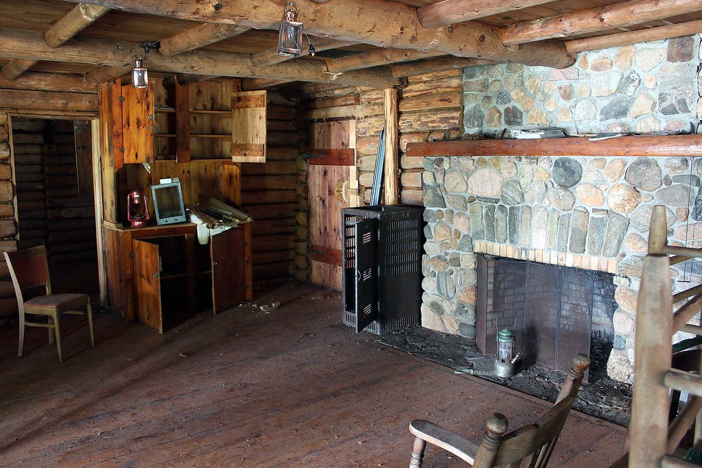 |
| Inside Calhoun Lodge |
Dave also
scanned and posted a brochure published by Ontario Parks called “Calhoun Lodge
and the Baker Homestead” (https://dhnadzam.files.wordpress.com/2013/08/calhoun-lodge-and-baker-homestead1.pdf)
which has many photographs and tells about the Lodge and its history.
Sometimes when we see abandoned
houses, we wonder what had occurred there and wish they could speak. Well, this
time all you have to do is go to Dave’s blog and in no time you will look at
this place from a very different perspective!
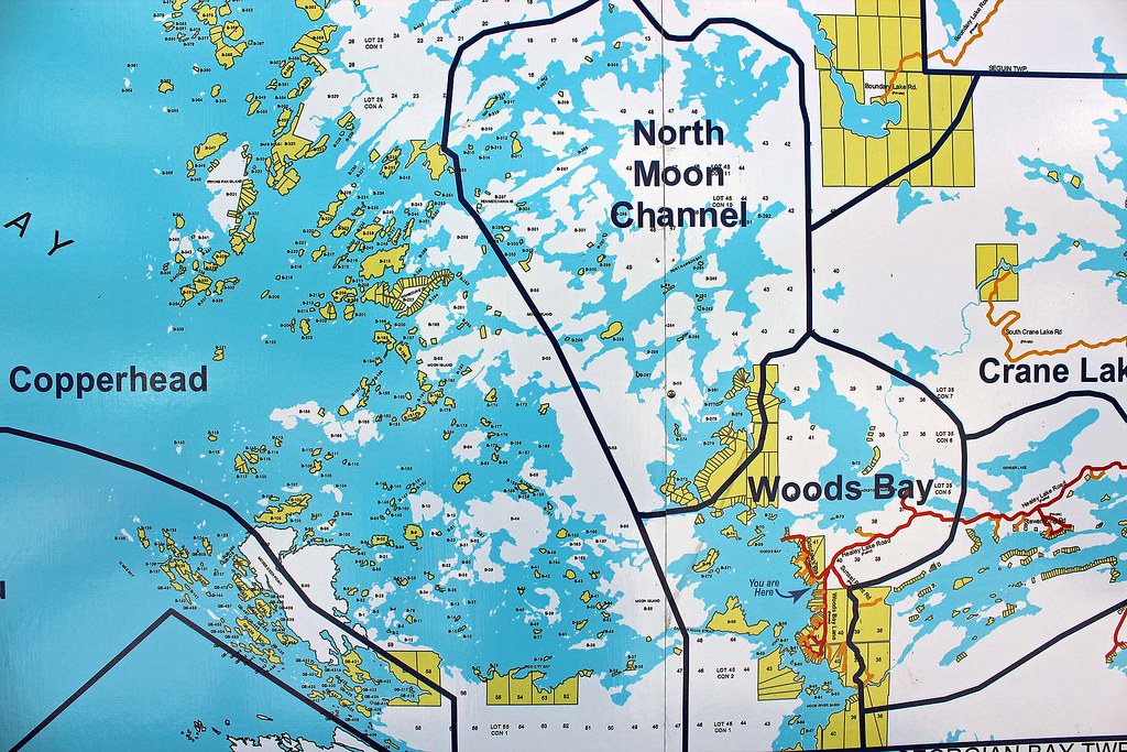 |
| Map of the Massasauga area at the Moon River Marina |
On Sunday,
August 4, 2013, we paddled to the falls (vis-à-vis Pete’s) and later gave a
lift to Lynn & Wayne to the parking lot where they had parked their car;
after saying good bye, we drove to the town of MacTier with our canoe on the
roof. Yeah, we were planning to do some paddling on Lake Joseph, but eventually
got too lazy and just spent a few hours in town.
 |
| Wreck Island |
On Tuesday,
August 6, 2014, we packed up our stuff and headed to Wreck Island. The weather
was awesome and even though we had to paddle on relatively open water, we had
no problems with waves or winds. Unfortunately, some motorboats were totally
oblivious to our presence and we had to carefully watch for the big rollers
they created. At one point three powerful speedboats darted about 100 meters in
front of our canoe. In no time they vanished, yet the high waves they had left
behind literally swamped our canoe — had not we positioned the canoe
perpendicularly to the waves, it would have likely capsized.
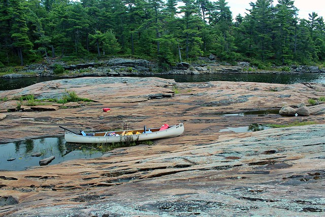 |
| Our campsite on Wreck Island |
We had
visited Wreck Island twice before: in 2008, during our first canoeing trip (it
was just a day visit) and then in 2009, when we stayed for several days on the
only campsite located on the island. We truly enjoyed our stay and thus 4 years
later we were looking forward to visiting our ‘old’ campsite again!
Since the
water level was lower than in 2009, our ‘private’ island on the ‘private’ bay
became a peninsula. We still remembered plenty of water snakes inhabiting the
island in 2009-they were quite ubiquitous, swimming everywhere and sticking
their heads from numerous crevices. They were there again-one, very long and
thick, was living under a flat rock, most of the time part of his body exposed
to the sun. It was shocking to think that we probably had seen him as a toddler
back in 2009! Others either swam or hid in cracks.
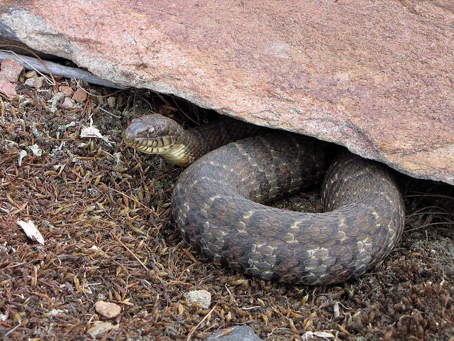 |
| Water Snake |
While Catherine
spent several hours painting the canoe with First Nation artwork, I tried
fishing, but she was obviously much more successful in her activity than I was
at mine. This time we did not see any wildlife — we kind of missed the lonely,
shy black bear that inhabited the island in 2009 and sometimes was observing us
from across the small bay!
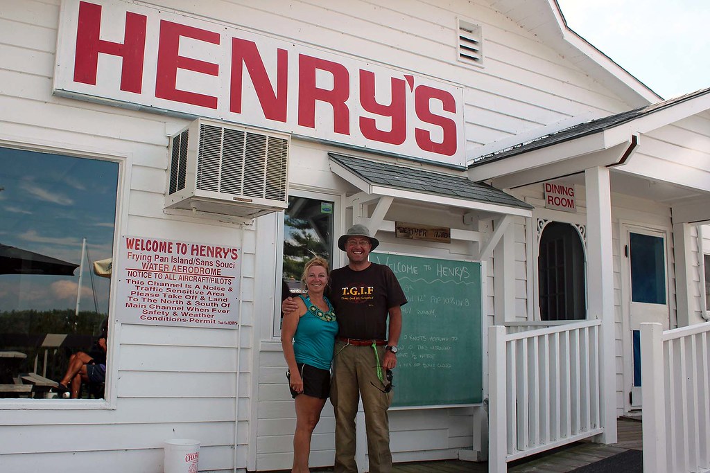 |
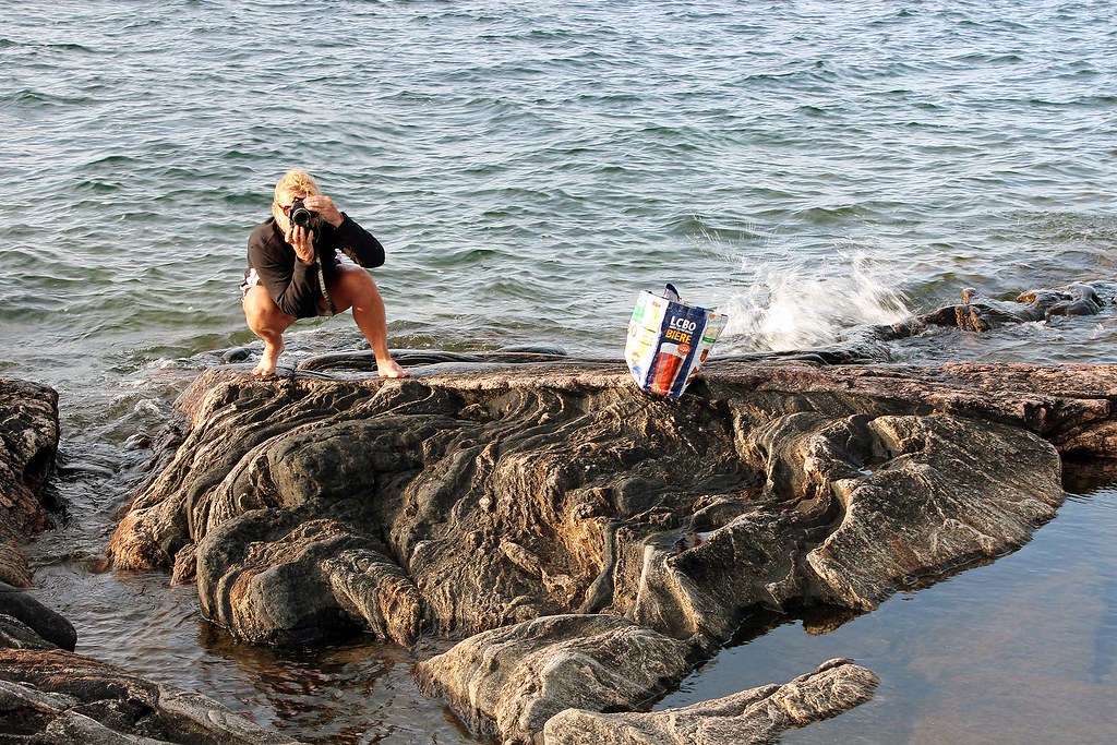
| At Henry's Restaurant on Fryingpan Island |
On August 8,
2013, we paddled to the famous Henry’s Restaurant on Frying Pan Island. As our
trip required us to be traverse through quite exposed areas, I had made sure
that the weather forecast did not call for any rapid weather changes and we
were monitoring the sky and cloud patterns. We saw an OPP (Ontario Provincial
Police) boat, checking boaters’ safety equipment-one hapless kayaker, who
seemingly forgot to bring a life jacket, was turned back by the police. When we
arrived at Henry’s, there were plenty of impressive boats, cruisers and
sailboats (and one float plane) at the restaurant’s docks, yet we did not see
any other canoes — we were the only brave ones!
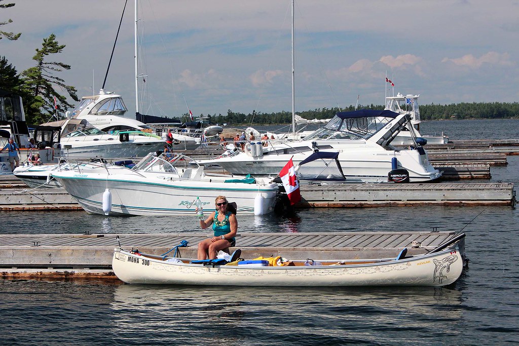 |
| We were the only canoeists that have arrive by canoe! |
We just had French fries and
briefly talked to the restaurant’s owner. Whereas the chips and fish are good,
we did not think they were that great to justify their high price. Later we
headed to the small store on the island.
Catherine bought ice cream, I opted for several cans of cold beer and we
headed back to Wreck Island. At one point we were almost hit by a fast-moving
motorboat — the driver saw us at the last moment and appeared visibly
embarrassed and even terrified.
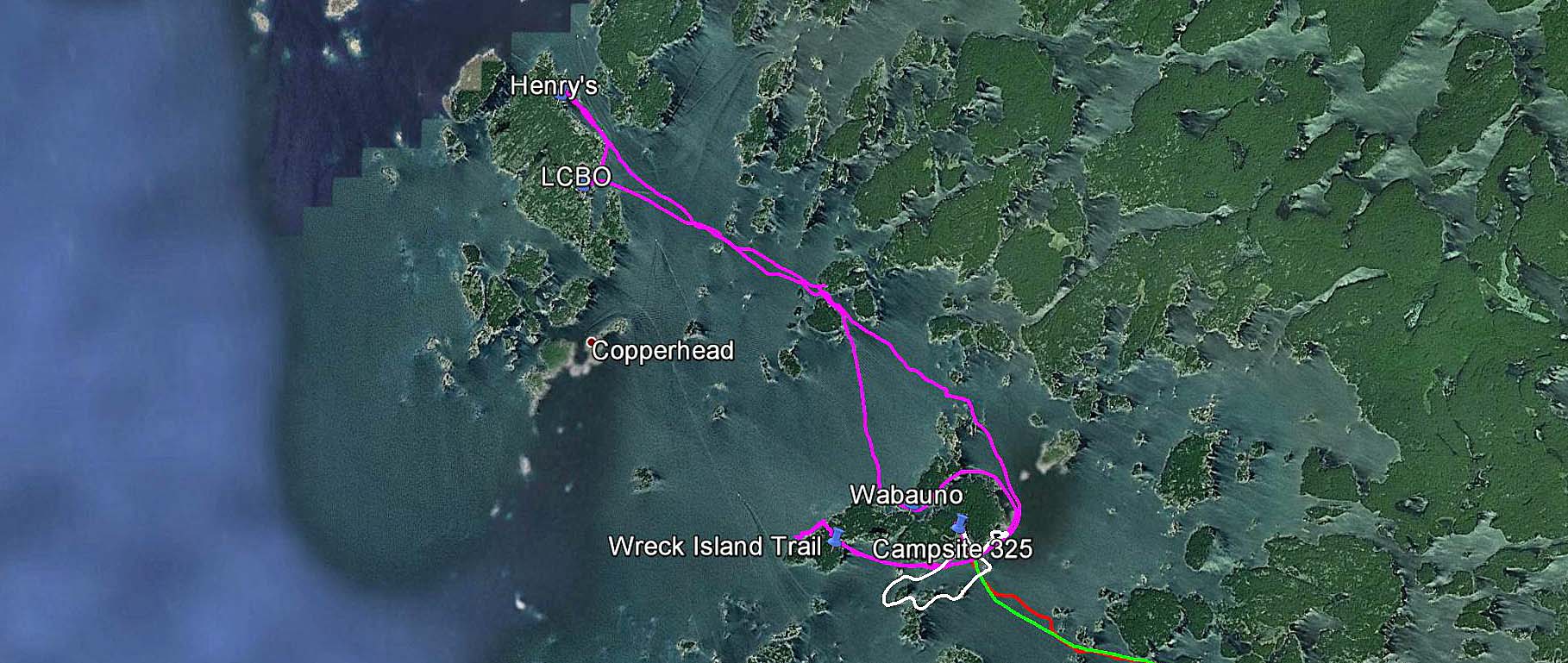 |
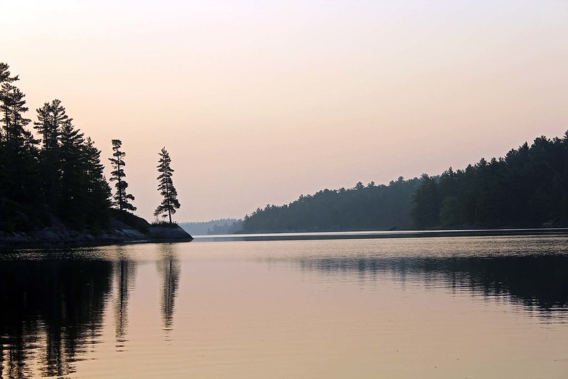
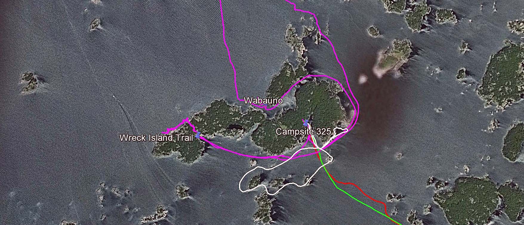
| GPS tracks-poaddling to Fryingpan Island and back to Wreck Island |
Instead of
paddling directly to our campsite on the south shores of the island, I
proceeded towards an entrance to a passage between Wreck Island and Bradden
Island. There I was paddling back and forth around small rocky islands at the
mouth of the passage and constantly scanning the area around the canoe.
Catherine had no idea what I was doing or looking for and became quite
perplexed by my peculiar behavior, yet I totally ignored her bemusement and
kept paddling hither and thither.
“Do you remember the story of the Waubuno?” I asked her.
Considering
all the many stories I had been regaling her with, Catherine could not recall
this name.
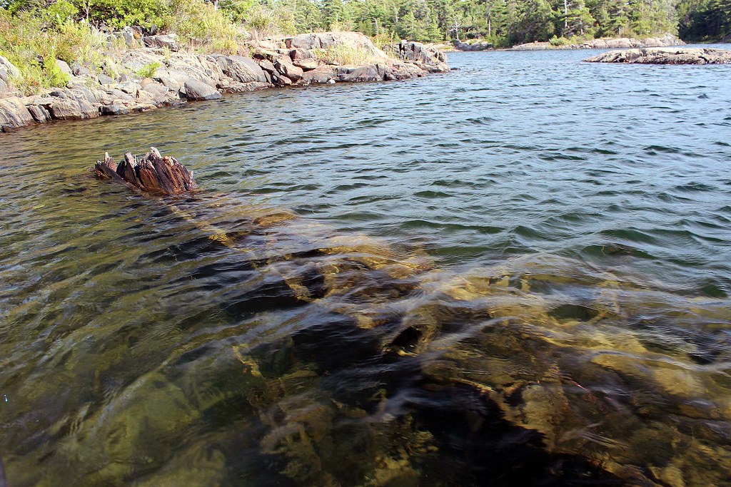 |
| Remains of the hull of the Waubuno |
“Well, there is a Historical Plaque in Parry Sound in Waubuno Park, where
a sizable anchor is located. So, to make the story short, let me just read you
what it says”, I said and pulled out a sheet of paper containing the text.
“This anchor, recovered in 1959, belonged to the steamer
"Waubuno", a wooden sidewheeler of some 180 tonnes which was built at
Port Robinson in 1865. She carried freight and passengers in the shipping trade
which flourished on Lake Huron during the nineteenth century. Commanded by
Captain J. Burkett, she sailed from Collingwood on November 22, 1879, bound for
Parry Sound. The "Waubuno" encountered a violent gale later that day
and sank in Georgian Bay some 32 km south of here. All on board perished, and
although some wreckage was later discovered, the bodies of the 24 victims were
never found. The specific cause of this disaster has never been determined.”
“Wow, what a terrible disaster!” she exclaimed.
I pointed
to something sticking out of the water.
“And we’re now looking at what remains of the hull of the Waubuno!”
Both of us
were quietly looking at this old, rusty and decaying object which 134 years ago
was part of this well-known ship.
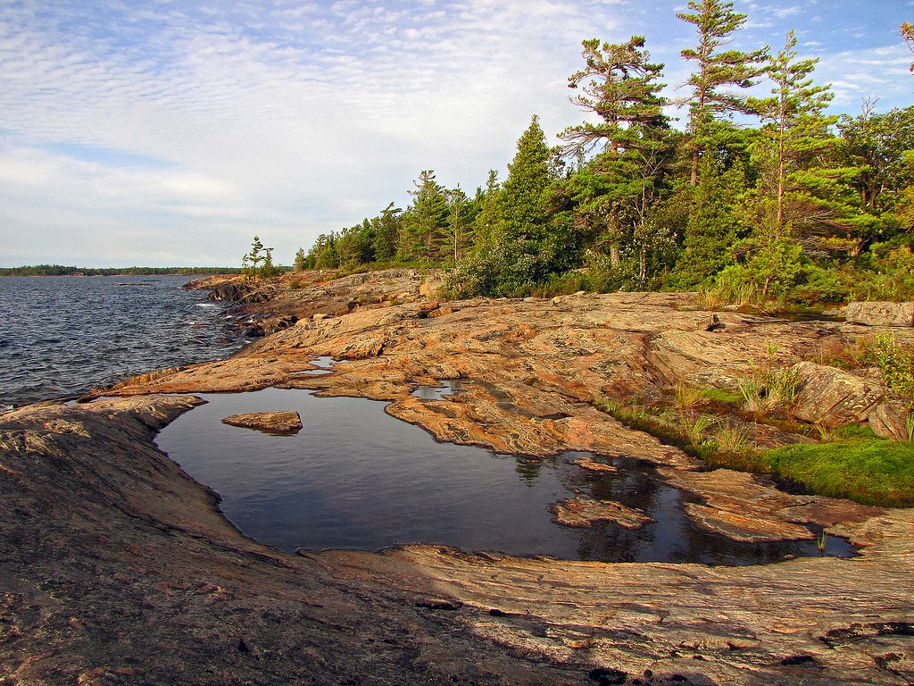 |
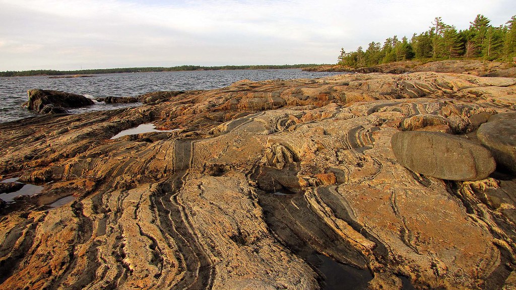
| Rock formation on Wreck Island |
Then we
paddled past the campsite to the beginning of the Wreck Island hiking trail.
There was one cruiser docked, whose occupants were having a small campfire on
shore. We spoke to them for a while-they complained about the price of gas the
boat was consuming-even a short trip ended up costing several dozens dollars.
Also, when it was windy, they often had to wake up in the middle of the night
to check if the wind did not push the boat towards the rocky shore. Listening
to such stories-and they are quite common-made us appreciate our canoe even
more!
 |
| Rock formation on Wreck Island |
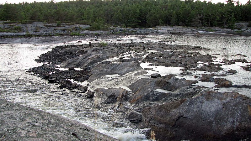
The Wreck
Island Trail is quite short, but it is absolutely spectacular due to impressive
rock formations! I was devouring the amazing and unique scenery and every few
seconds took a photo — I could literally feel my camera overheating! I am not a
geologist, but let me quote a few passages from “Wreck Island Trail” by Ontario
Parks:
Geologists believe that the rocks in this area
have experienced a mid-continental collision beginning some 1.1 billion years
ago. Mountain building was followed by millions of years of erosion. Some 450
million years ago a marine sea flooded this area leaving deposits of limestone,
yet none of these thick deposits have survived the subsequent erosion on Wreck
Island.
 |
| Fantastic rock formations on Wreck Island |
Glaciation has also contributed to sculpting
the park’s landscape. Continental glaciation finished the job of removing the
last traces of soft limestone. The last sheet covered the Wreck Island area
approximately 60,000 years ago, however, it was 14,000 years ago that an event
far to the north of Hudson Bay would leave a lasting record on the island. A
catastrophic release of glacial meltwater occurred, releasing a huge quantity
of debris-laden water with “nowhere to go”. Ice still covered this part of
Georgian Bay, including Wreck Island, as the water rushed southward. It
traveled beneath the ice under tremendous pressure. The water was able to push
up the base of the glacier and travel along the ground. The rushing torrents
was filled with sharp grit, cobbles and boulders. This torrent attacked the
rock surfaces of Wreck Island much like a giant sand blaster, resulting in the
erosional processes evident today.
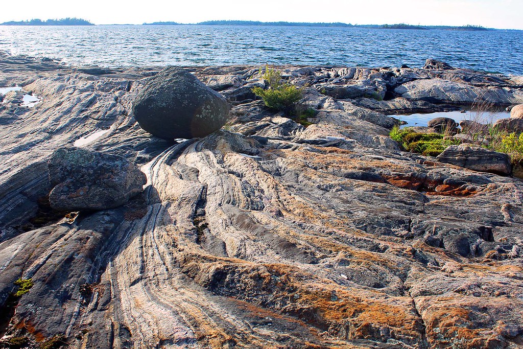 |
| Percussion Boulder |
Percussion
Boulders
Fourteen thousand years ago a catastrophic
release of glacial meltwater occurred, releasing a huge quantity of
debris-laden water with “nowhere to go”. Ice still covered this part of
Georgian Bay, including Wreck Island, as the water rushed southward. It
traveled beneath the ice under tremendous pressure.
 |
| Taking photos on Wreck Island |
The water was able to push up the base of the
glacier and travel along the ground. The rushing torrent was filled with sharp
grit, cobbles and boulders. This torrent attacked the rock surfaces of Wreck
Island much like a giant sand blaster, resulting in the erosional processes
evident today. The large, black boulders is one of those rocks which were
bouncing along under the ice hammering the rock surfaces. These rocks are known
as percussion boulders, they were swept along in a high speed sheet of water
under tremendous pressure. Geologists think this incredible flow may have been
short lived, lasting anywhere from only a number of hours to several days.
 |
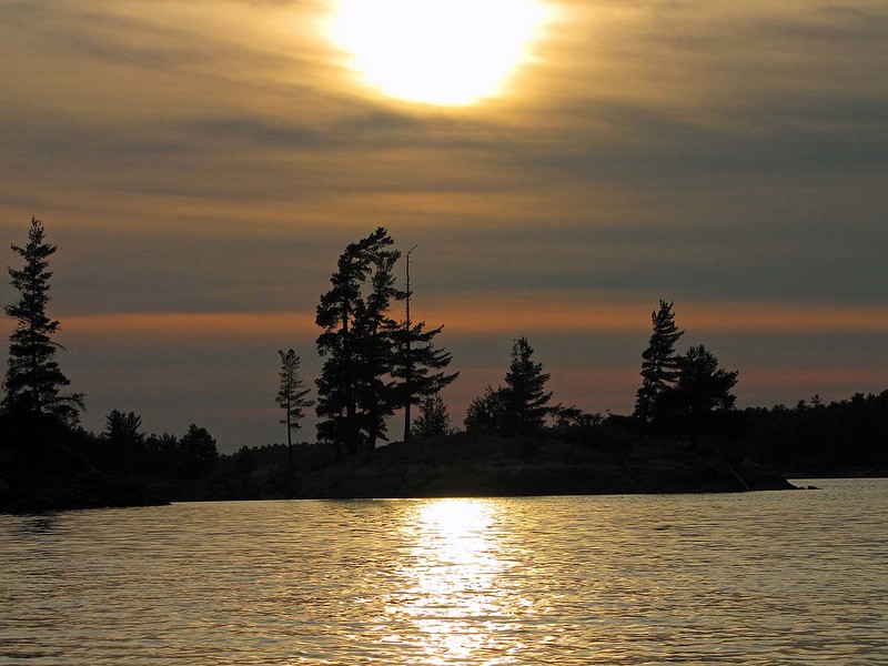
| Amazing sunset on Wreck Island |
We know that these percussion boulders have
traveled a long distance; this black boulder looks very different than the
bedrock on which it sits. The boulder is gabbro from far north of here and
contains green epidote.
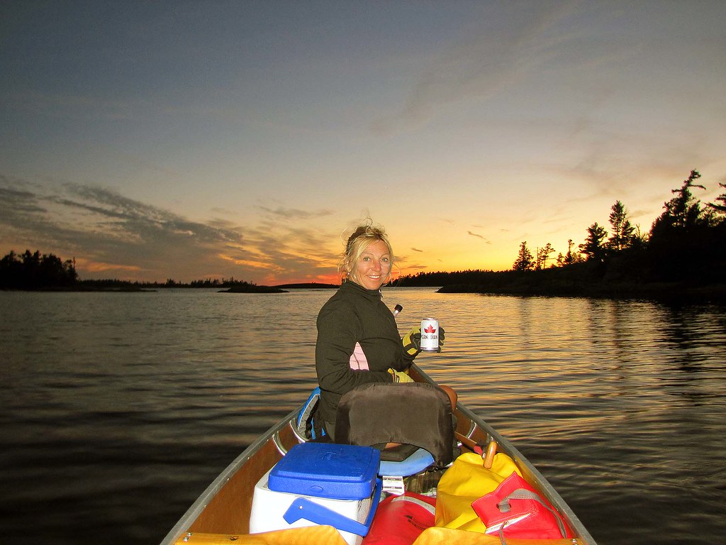
It was a
wonderful evening and I took over one hundred photographs with the rock bathed
with the setting sun, yet no photograph will convey the exceptional beauty of
this area.
 |
| Enjoying the sunset near Wreck Island |
It was
getting dark and we slowly returned to the canoe. It was very hot, I was thirsty
and had a few cans of still cold beer-it was so delicious and refreshing! We
paddled for a while and finally reached our campsite in total darkness.
Next day we
paddled back to Pete’s Access point, stopping along the way in Captain Allan
Strait to eat Pickerel Weed, examine Arrowheads and look (unsuccessfully) for
wild rice. At one point a group of seadoo riders suddenly showed up in the
channel and kept going very fast in spite of our canoe being there. Since it
was still early, we went to Moon River Marine for popsicles and beer, then sat
down in wooden chairs and were watching and chatting with patrons loading their
boats to depart to their cottages-well, a very busy Friday evening! In less
than 30 minutes we arrived to the Pete’s Access point, packed the car and
placed the canoe on the roof—just in time before a thunderstorm hit.
 |
| On Wreck Island-Percussion Boulder |
What can I
say… yet another awesome canoeing & camping trip!